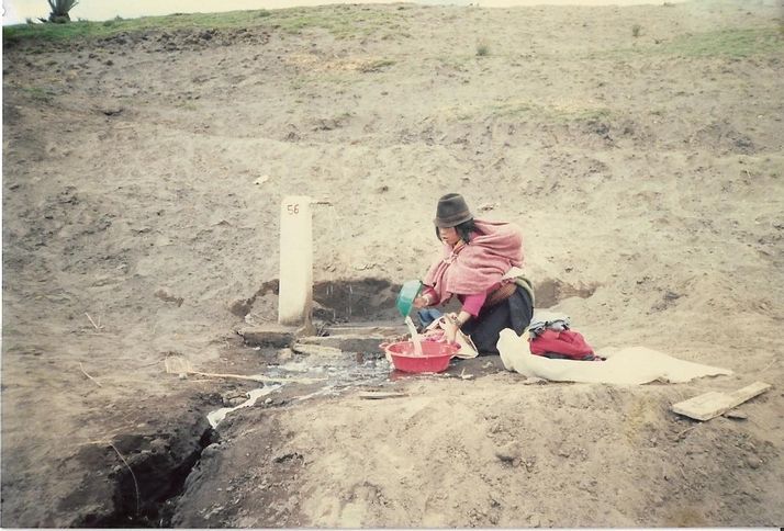
CO-DESIGN IN TIMES OF COVID-19

One of the few positive points of the Corona-crisis is that it provides an opportunity for reflection. For me, this included looking at the design considerations applied ages ago and the ones we use now. What are the differences and what is still valid? A lesson from the Corona-outbreak is not to take anything for […]
FIRST TWIGA GPS NETWORK DEPLOYED IN UGANDA

TWIGA successfully established the first low-cost GNSS network in Africa, that will be used to continuously measure the amount of water vapor in the atmosphere. This information will allow improving forecasts of extreme weather events, such as cloudbursts and thunderstorms. GPS stations deployed at fixed locations can be used to measure the amount of water […]
TWIGA brings geo-information on weather, water, and climate together in one platform

Climate change results in more extreme weather events with a great influence on water management in our urban and rural environments. The effects of extreme weather are considerable all over the world. Some regions face long-lasting droughts with severe impacts on crop yields. Other regions of the world face excessive rainfall and associated floods. Some […]
Smartphones indispensable tools for flood abatement

Flood events in Kumasi, the second biggest and fastest growing city in Ghana, are becoming more frequent and severe due to changes in the climate and rapid urbanization growth. The natural flood plains are increasingly being used for urban construction. Increasing population also brings along more solid (plastic) waste on the streets and into the […]
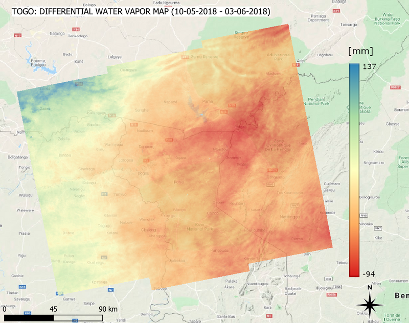
Water vapor maps from spaceborne radar: first African experiments.

The prediction of rainfall is a critical issue in several African countries. The scarcity of in-situ measurements (for example from ground-based radars) of water vapor content in the lower troposphere prevents Numerical Weather Prediction Models (NWPM) to reach high accuracy in weather forecasts. In order to compensate for the lack of in-situ measurements, satellite images […]
IMPROVING WEATHER INDEX INSURANCE FOR SMALLHOLDER FARMERS IN GHANA

Agriculture in the Sub-Saharan African countries (including Ghana) is mainly rain-fed and it is also dominated by smallholder farmers (with farm size less than 2 hectares). This implies the smallholder farmers who are the most vulnerable group in the society are always under the mercy of the weather. The effects of climate change which is […]
Effective Transnational Catchment Management

Catchment management is usually the responsibility of a governmental organization such as a Catchment Management Agency in South Africa or a Water Board in the Netherlands. However, catchment boundaries are not always situated within a political region. For example, the Rhine catchment is shared by the Netherlands, Germany and Switzerland. But also smaller river systems […]
WEATHER FORECASTING FOR AGRICULTURE IN AFRICA, THE BUSINESS CASE?

Weather information is a priority for farmers, whether they use irrigation or not. It should be localized, timely, and accurate enough, to make the information relevant at the field level. In Africa, this is often not the case, although there are information providers, such as aWhere (https://www.awhere.com/) and Weather Impact (https://www.weatherimpact.com/) that are active on […]
Farmers see where the satellite is blind

Satellite data for West Africa is still struggling with local climate and farming practices. Despite the increasing data frequency, the rainy season in West Africa features such a dense cloud cover that many satellites cannot provide cloud free images. In addition, many farmers practice intercropping which means that a single plot can be used to […]

